Arkansas: Cane Creek Sets the Standard for an Outstanding Trail System in a Beautiful Setting

Cane Creek State Park in Arkansas takes pride in its trail system for hikers, runners, backpackers, kayakers and bikers that takes them through a unique area where the Coastal Plain meets the Mississippi Delta. It’s truly a tough combination to beat, especially with stunning Cane Creek Lake as part of the package.

Linda leads the way on the Delta View Trail that takes hikers through Gulf Coastal Plain woodlands.
HIKING TRAILS
The park’s trail system has three options that provide excellent challenges for anyone and picturesque scenery to make it pleasant.
Delta View Trail (2.5 miles)
Cane Creek Kayak Trail (2.5 miles)
Cane Creek Lake Trail (15.5 miles)

The Cane Creek Kayak Trail leads kayakers through clusters of water lilies and stands of dead and live trees.

The Cane Creek Lake Trail can be traveled on foot or by mountain bike and includes lake and forest views.

Cane Creek State Park includes a boat ramp and fishing piers to accommodate people looking for a great place to fish.
PARK FACILITIES
You’ll have many options if you plan an overnight stay. The park offers 29 campsites, a Rent-An-RV, backpacking shelter, pavilions, picnic sites, boat ramp, fishing piers, bathhouse, playground and visitor center with exhibits and a gift shop. You can rent boats and bicycle at the park. The park is at 50 State Park Rd. in Star City. Go to the Cane Creek page on the Arkansas State Parks website for fees and other information.

Cane Creek’s campsites come with plenty of shade.

Linda inspects one of the fishing piers at Cane Creek.
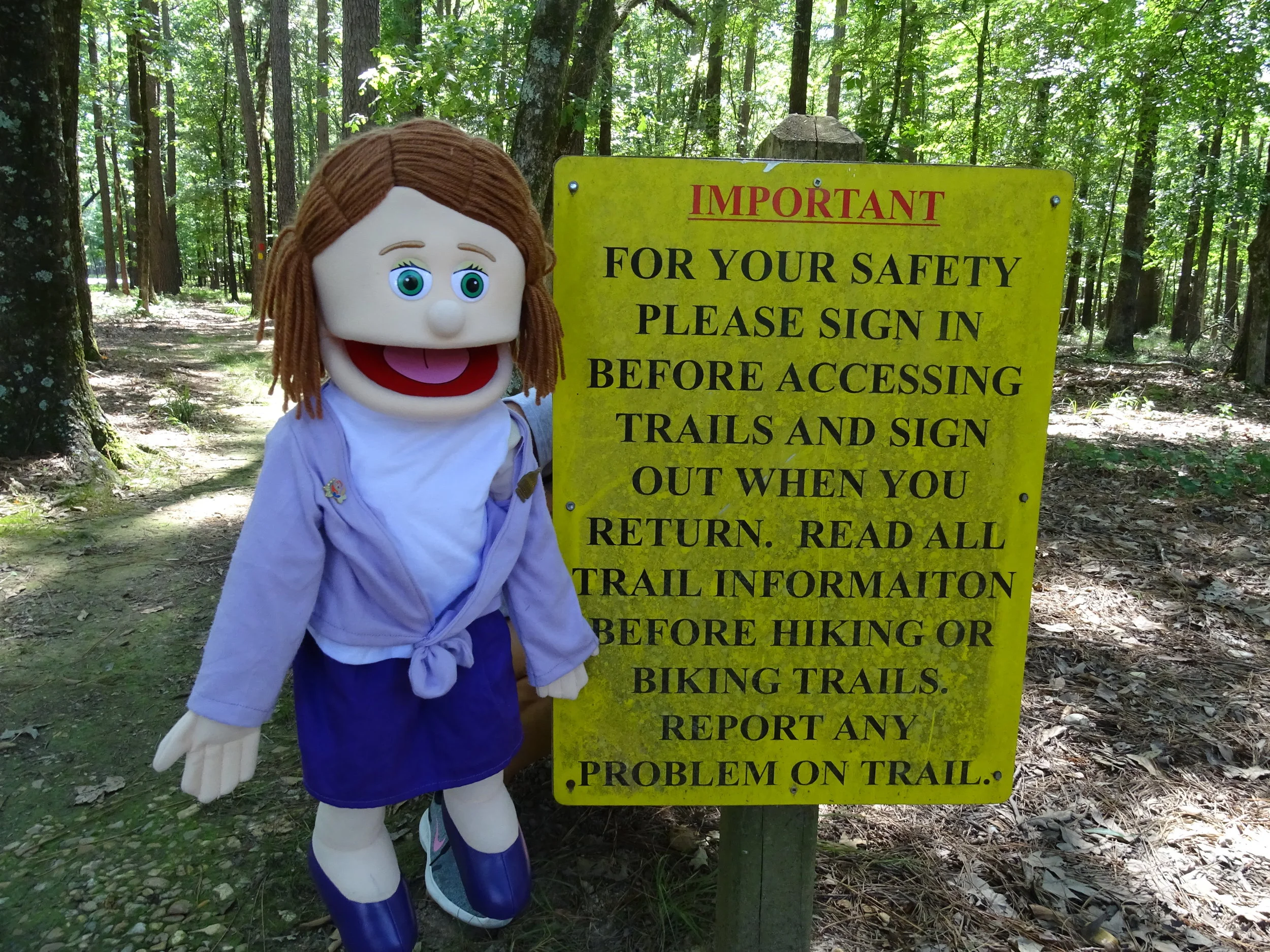
Arla shares her concern about the need to sign in before hiking the trails at Cane Creek.
ARLA’S SHOCKING MOMENT
When we passed a highly visible warning sign at the trailhead, I asked Doug if we should follow the instructions and record the beginning and end of our hike. He said, “Naw, that’s only for people going on long hikes. Ours is only a couple of miles.” Wow! That sounded familiar. He seemed to have forgotten our “Lost” episode during a short hike at Lake Ouachita.

Doug hikes the Delta View Trail.
Not me! I knew that somebody could get lost here. “Do you remember Lake Ouachita?” I asked. “Should I call the ranger for help now?” Doug agreed to sign in and off we went—none of us got lost hiking that day.

Linda and Arla enjoy a final view of Cane Creek Lake before getting back on the road.

Our Arkansas road map came in handy when Siri didn’t help us find our next destination.
LINDA’S TAKEAWAY
Linda: My positive memories of Cane Creek faded when we tried to leave the park but didn’t know whether to turn left or right at the highway. Our smart phones were no longer in service. For several years, we’ve relied on Siri for directions on road trips. After many failed attempts to get our phones to map us out of the park, Doug asked me to help search the car for an Arkansas road map. Fortunately, we found one. Doug read the map to get us out of the woods. About 15 minutes on the highway, our smart phones returned to service, and we plugged Siri back in for help.
Lessons learned. First, always carry an old-school paper map. Second, be patient with Siri when she’s giving directions that I don’t understand or agree with—I need her help!

A team effort led to the creation of Cane Creek Lake and the state park next to it.
DOUG’S HISTORICAL HIGHLIGHT
The park is managed through a cooperative effort between the Arkansas Department of Parks and Tourism, Arkansas Game and Fish Commission and the United States Department of Agriculture’s Soil Conservation Service. It is the largest project undertaken by the U.S. Resource, Conservation and Development Council. Construction of the lake began in 1983 by damming Cane Creek and its confluence with Bayou Bartholomew.

Gee Whiz Facts
Cane Creek Lake and the woodlands around it represent two separate geographic regions within Arkansas. The state park includes 2,053 acres of woodlands adjacent to Cane Creek Lake. The woodlands represent what the Coastal Plain region looks like. The 1,675-acre lake exemplifies the Mississippi Delta region.
PARTING SHOT

Arla appears to dislike touring Cane Creek State Park while in Linda’s backpack.