Louisiana: Did You Know That Louisiana Has A World Heritage Site called Poverty Point?
Of the cultural World Heritage Sites in the United States, Poverty Points ranks as the oldest. So, Louisiana gets bragging rights for a travel destination with worldwide significance.
POVERTY POINT HISTORY
Archaeologists have dated the artifacts found at Poverty Point as having been produced between 2000 B.C. and 500 B.C. The mound-building at the site took place about the same time Stonehenge was being built in England and Queen Nefertiti ruled Egypt. It required about 2 million cubic yards of soil to create the earthworks and mounds—all hauled in baskets. To put this accomplishment into perspective, the average commercial dump truck today holds anywhere from 10 to 14 cubic yards of dirt. So, it would take about 200,000 truckloads to equal what these ancient people did with baskets.
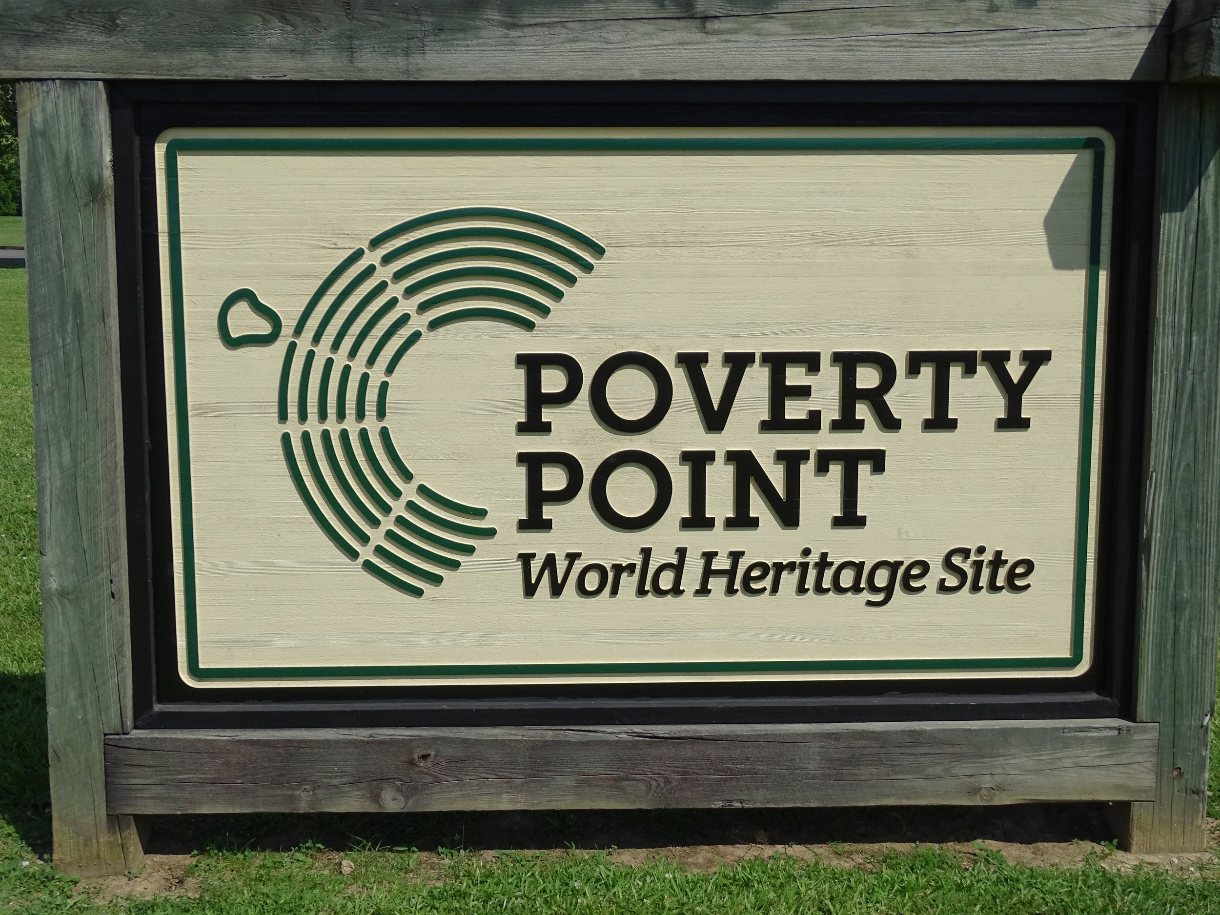
The logo on the left side of the Poverty Point sign provides a bird’s-eye view of what the site would have looked like thousands of years ago.
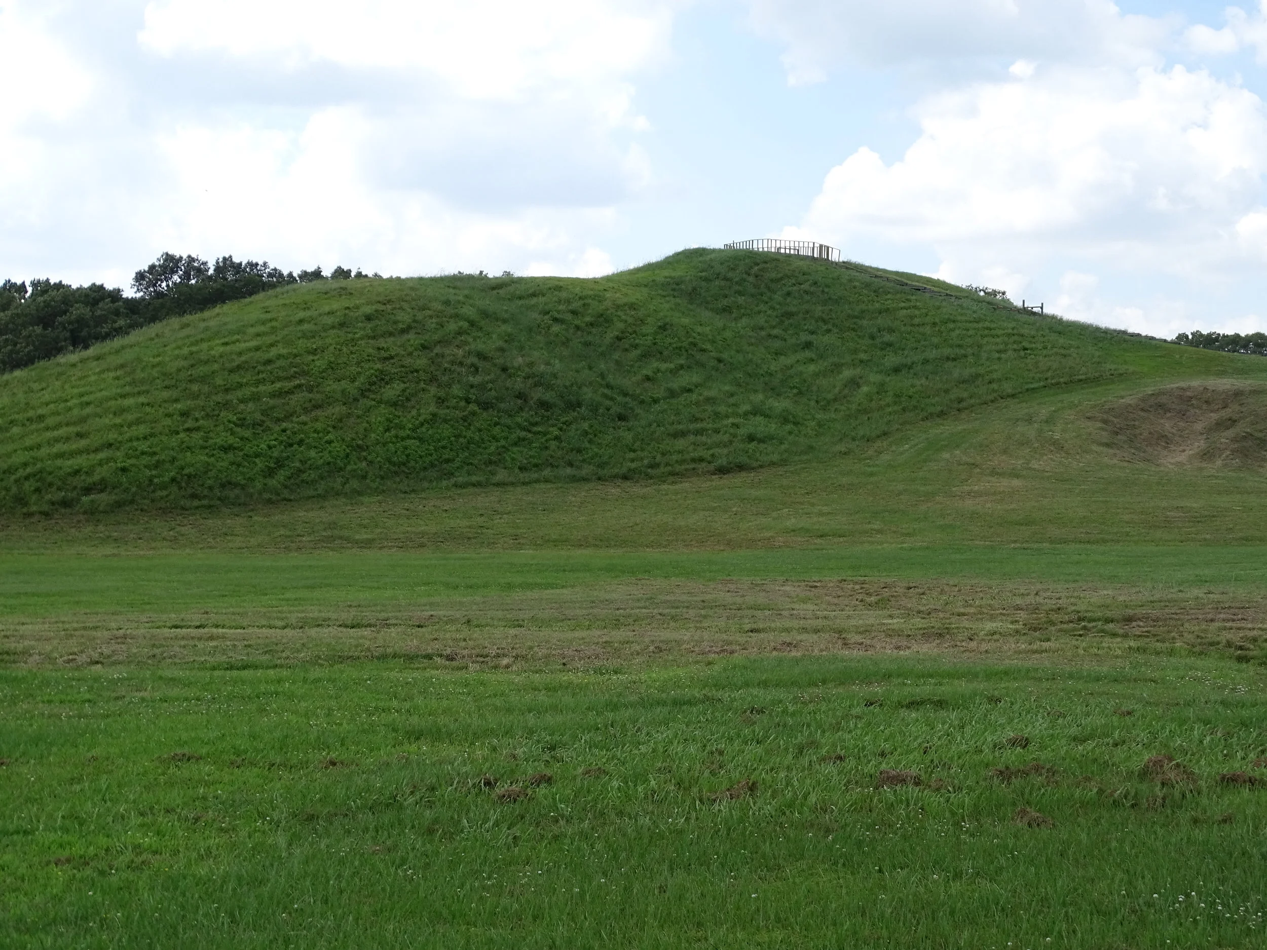
The largest mound built at Poverty Point is 72 feet high.
Here’s a site description from one of the many displays at Poverty Point:
“The site includes a massive earthen complex with six mounds, six concentric C-shaped ridges, and an expansive plaza. Poverty Point, built roughly 3,500 years ago, remained unmatched in the U.S. in size and complexity for nearly 2,000 years. In addition to its impressive size and unique design, the site is outstanding because of its widespread trade network and variety of artifacts, all created by a community of hunters-gatherers.”
The view from the top of mound offers a sense of how large the complex of mounds and earthworks is.
The site’s name comes from the Poverty Point Plantation established in the area around 1851 by Phillip and Sarah Guier. The name sounds a bit pessimistic, but it wasn’t unusual for the time period. Other plantations were called Hard Times Plantation and Hard Bargain Plantation. The names reflected the prospects of these early farmers and planters.

Your first stop at Poverty Point should be the park office and museum to pay your entrance fee and gather information about the site.
VISITING POVERTY POINT
Poverty Point has an excellent interpretive museum that explains the site’s historical significance. Look for the timeline toward the back of the museum that compares the timing of the mounds’ construction with what was happening in other ancient civilizations. The timeline makes it clear how old the site is when compared with the rest of world history.
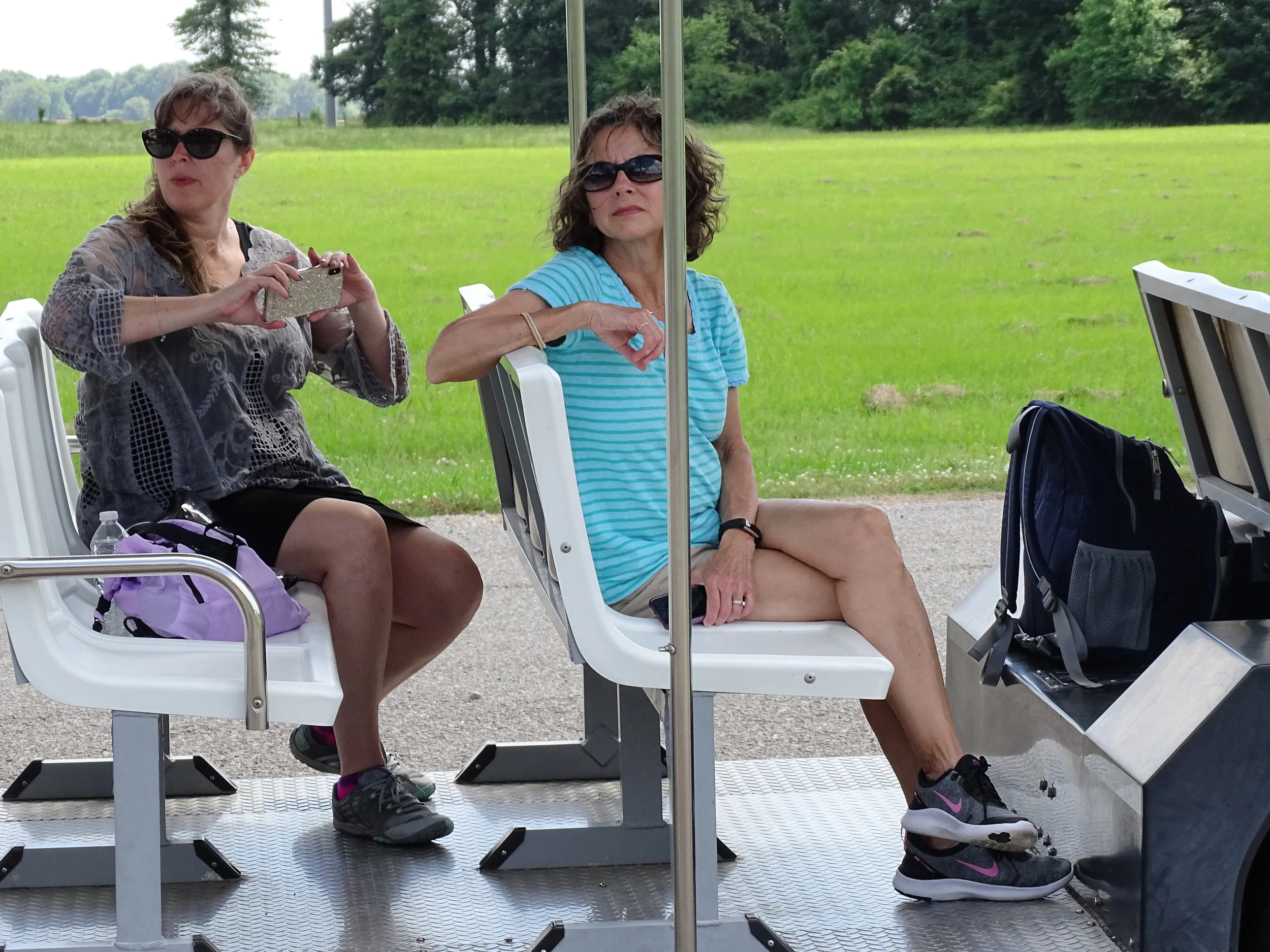
Take the guided tour that includes a tram ride around Poverty Point. Our tour guide gave us valuable insights about the site.
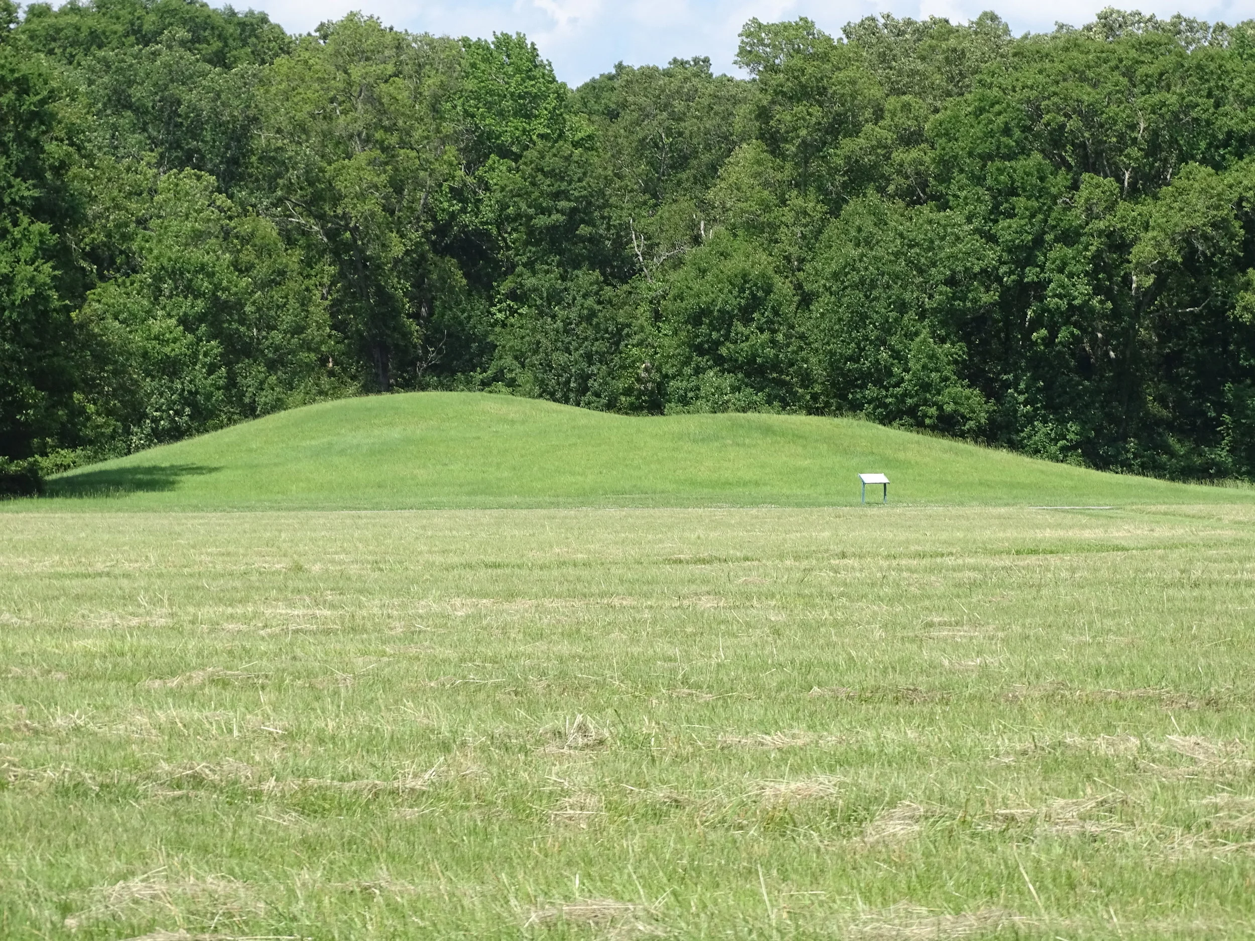
One of the smaller mounds at Poverty Point includes an indentation in the middle where archaeologists excavated it years ago.
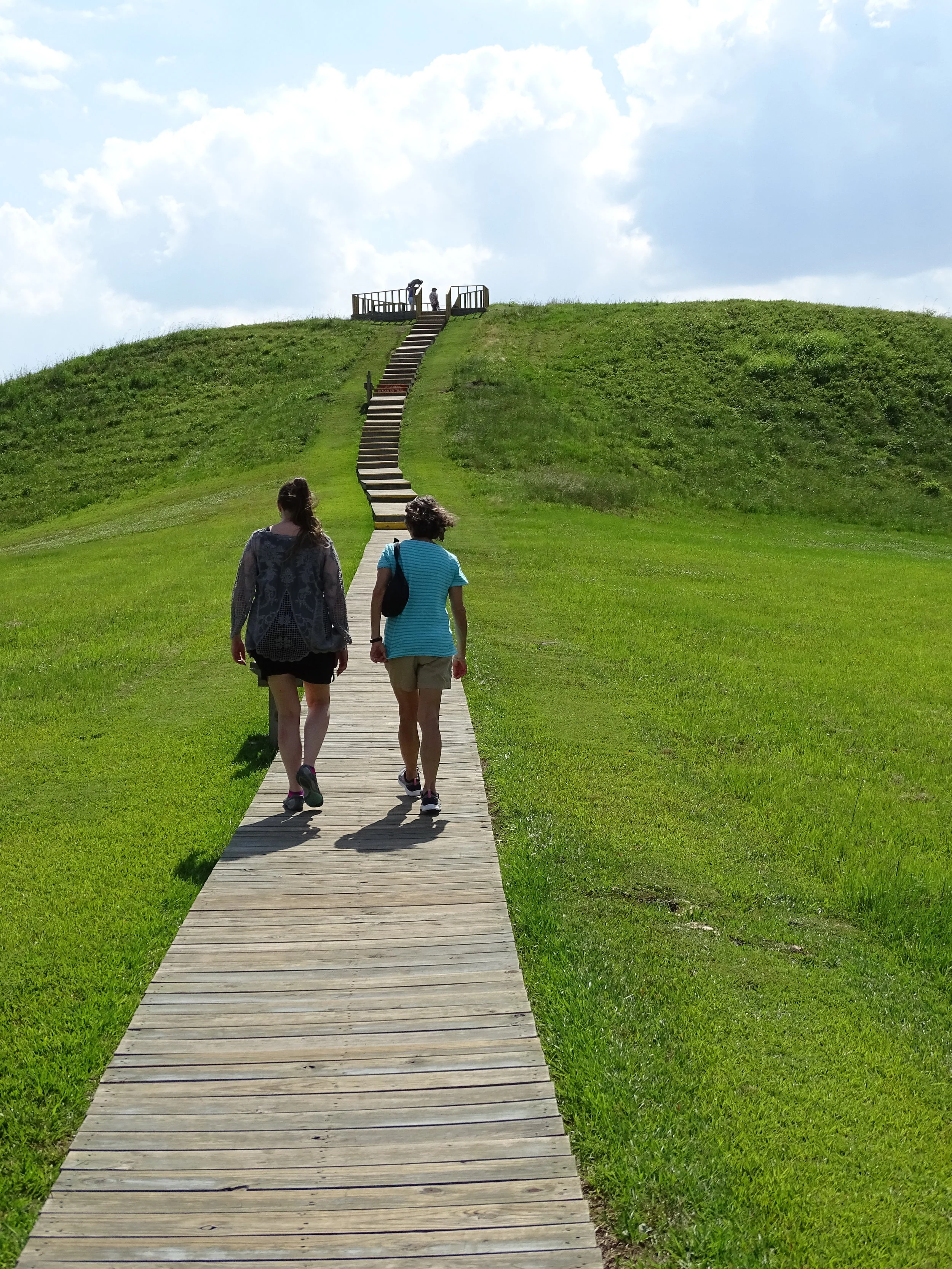
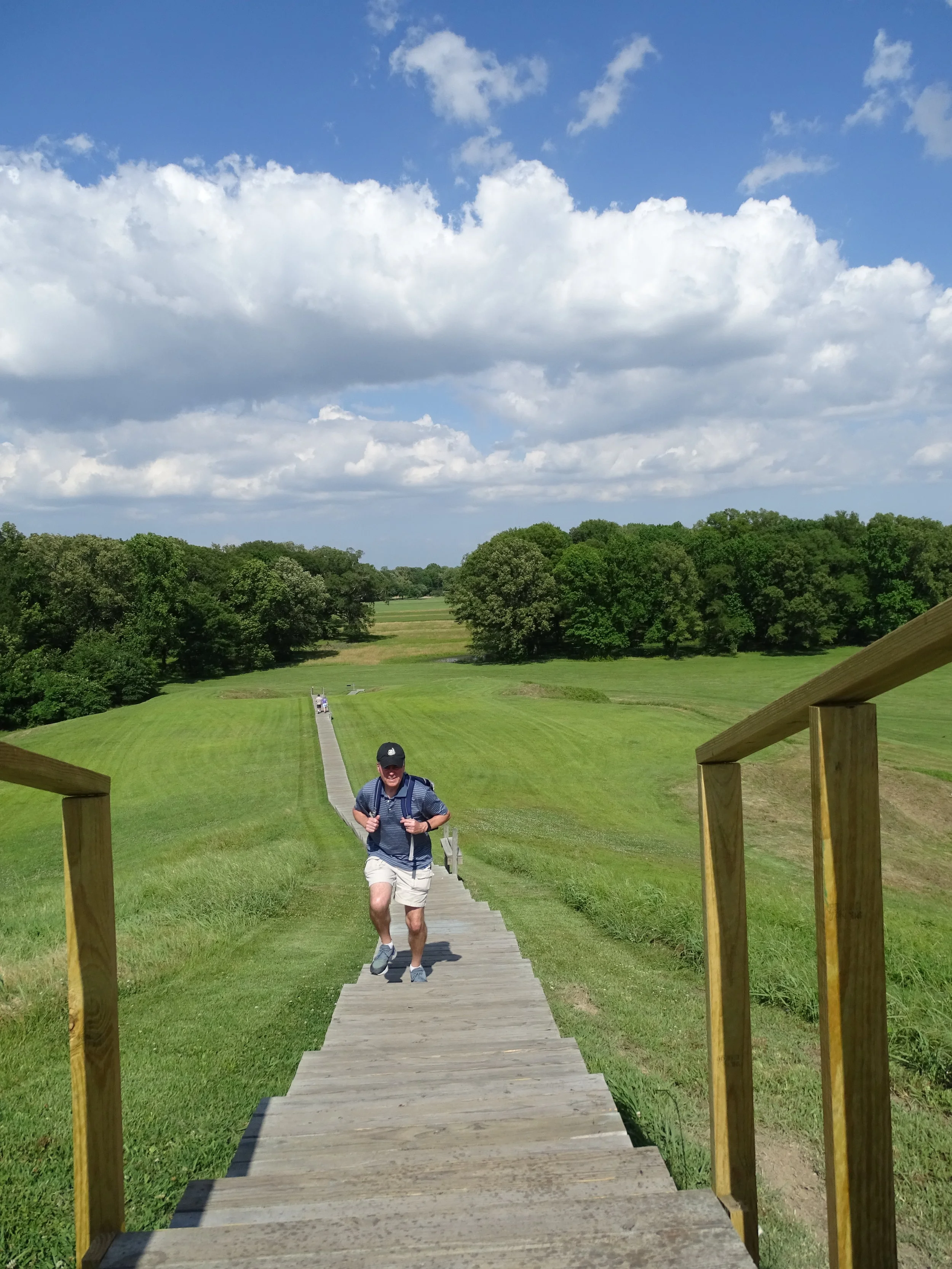
Take the tram ride of the site to gain the best experience. We’ve been to Poverty Point twice and only did the self-guided walking tour the first time. Our tour guide’s insightful commentary improved our understanding of site’s history and the archaeological work conducted there. If you decide to take the self-guided walk around the site, the trail is a 2.6-mile loop, not difficult unless you’re there on a hot, muggy day.

Poverty Point Resevior State Park
Located about 15 miles south of the World Heritage Site is another Louisiana state park—Poverty Point Reservoir State Park in Delhi. The park offers year-round fishing for largemouth bass, black crappie, blue gill and channel catfish. Go to the Louisiana State Parks website for additional information.
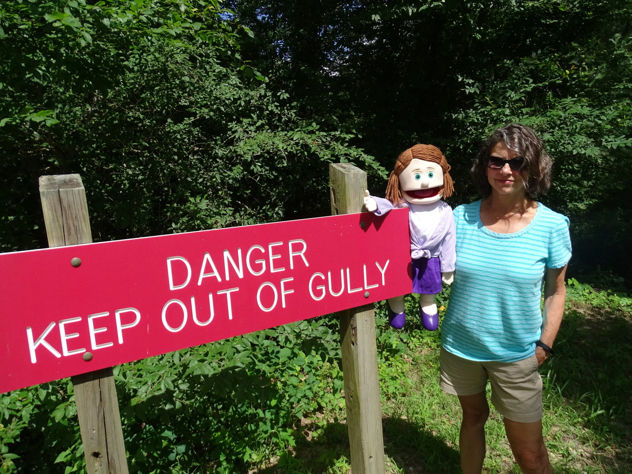
Arla points at a sign that makes it clear the Poverty Point gully is dangerous.
ARLA’S SHOCKING MOMENT
Arla: When spotting the giant warning sign about the gully next to the Poverty Point Museum, it made me think—somebody could get pushed into a deep, dark hole here. I know the park staff members are trying to keep people safe by alerting them of potential hazards, but I’m concerned that they might be giving the wrong kind of person a subtle suggestion to settle a score with a tiresome traveling companion.
After hours in the car with a back-seat driver, an aggravated person might see the sign and start thinking about giving his annoying companion a gentle nudge into the gully. Here’s how it could happen:
“Gertrude, take a look at this beautiful butterfly,” George says, pointing at one of the many bushes clinging to the walls of the gully.
Gertrude walks to the brink of the gully and looks down. “Where? I don’t see it.”
“It’s right there,” George says, pointing again. “Lean forward a little.”
Gertrude looks intently for the butterfly while moving even closer to the gully’s edge.
“It’s right there,” he says again while stepping toward Gertrude. With a quick shove, he sends her toward the jaws of the dangerous gully. She utters a brief scream before disappearing into the deep, overgrown gully where alligators nest.
Smiling, George returns to his car for a peaceful drive home.
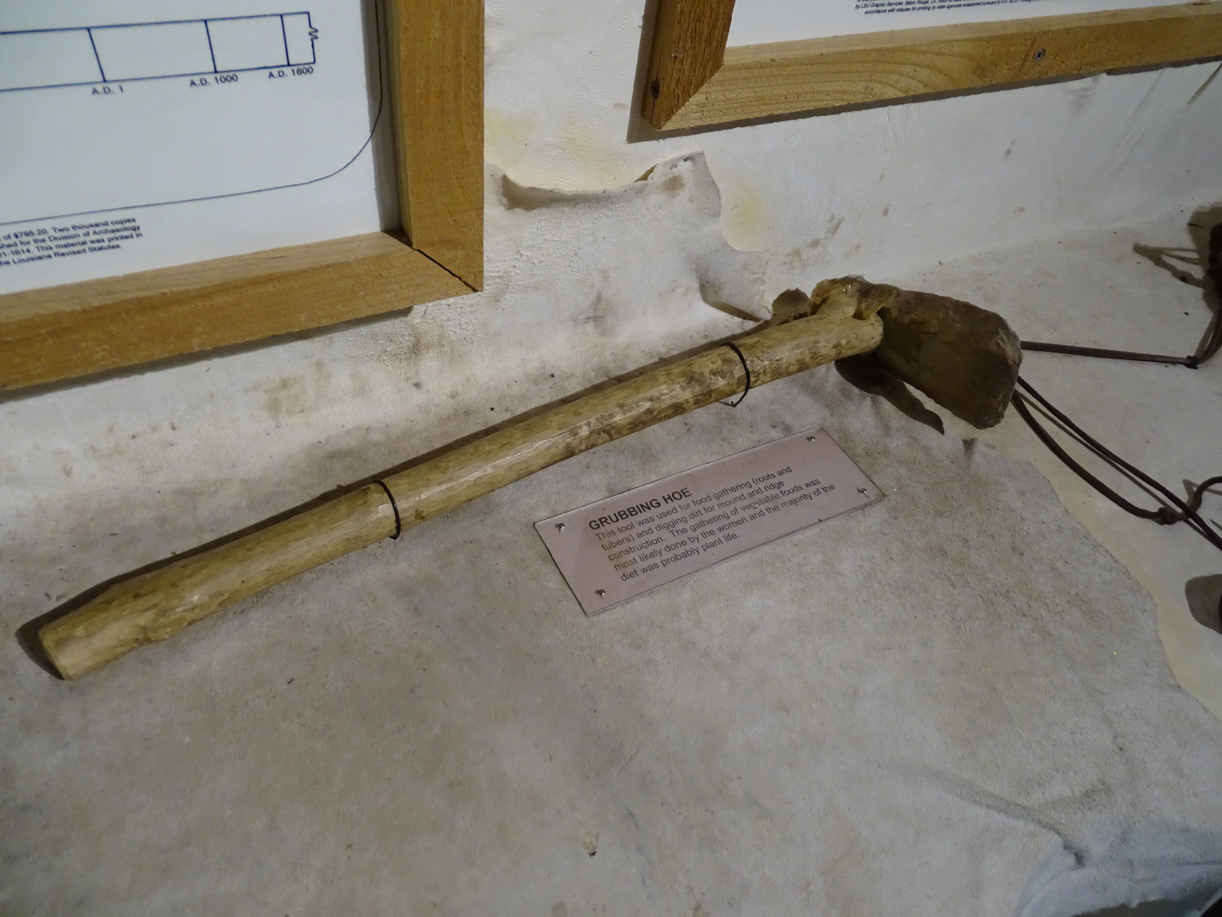
The ancient people of Poverty Point were hunters and gathers. This grubbing hoe is an example of the tools they used to collect plant life to eat.

The white markers in this field indicate the boundaries of an ancient circular structure that archaeologists don’t know what purpose it had.
LINDA’S TAKEAWAY
Linda: During my visit to Poverty Point I was overwhelmed by the ancient, historical facts and theories. Instead of trying to retain and comprehend way too much information, I focused on visually observing the mounds and allowing my imagination to come up with the purpose for the tallest and largest mound in Poverty Point.
I love the steps that were built (by the park) so visitors may climb to the top for a panoramic view of the site. While up there, I visualized this large mound possibly being used for special occasions such as marriage ceremonies, celebration of a child’s birth and spiritual worship. If you feel up to climbing a long flight of stairs to the top of the 72-foot-high mound, it’s worth the view. Go for it!

Doug’s Historical Highlight
Here’s text from one of the Poverty Point museum displays: “The James Gang supposedly had one of their hide-outs in the area behind Poverty Point. After their robberies, they fled to the swamps in the area as a perfect haven. It is written that the gang would congregate in the woods behind the major mound—go down inside a hollowed tree—into a tunnel, which led to an old cabin in the woods.”
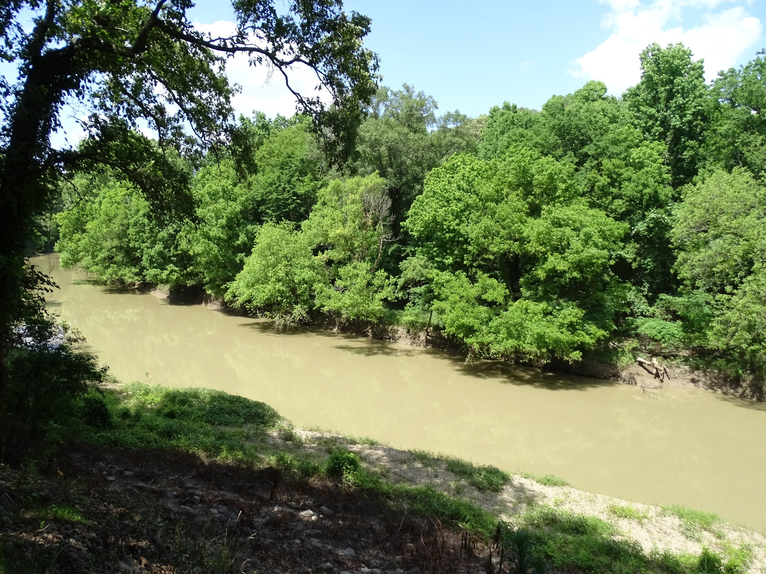
Bayou Macon (pronounced “may-sun”) runs through Poverty Point. The best view of it is from behind the museum.
GEE WHIZ FACTS
The official name of the Poverty Point site on the list of World Heritage Sites is the Monumental Earthworks of Poverty Point.
The site is often considered to be the New York City of its day because it appears to have been much more elaborate and sophisticated than anything else that was happening in North America at that time.
The early Poverty Point residents had everything they needed to survive except for appropriate stone to make tools. Archaeologists have found evidence of stones brought into the area probably by trading goods for them. The museum provides a fascinating exhibit about the source of the stone tools found at the site. Many of the stones came from locations hundreds of miles away.
PARTING SHOT: ARLA AND THE HAUNTED TREE
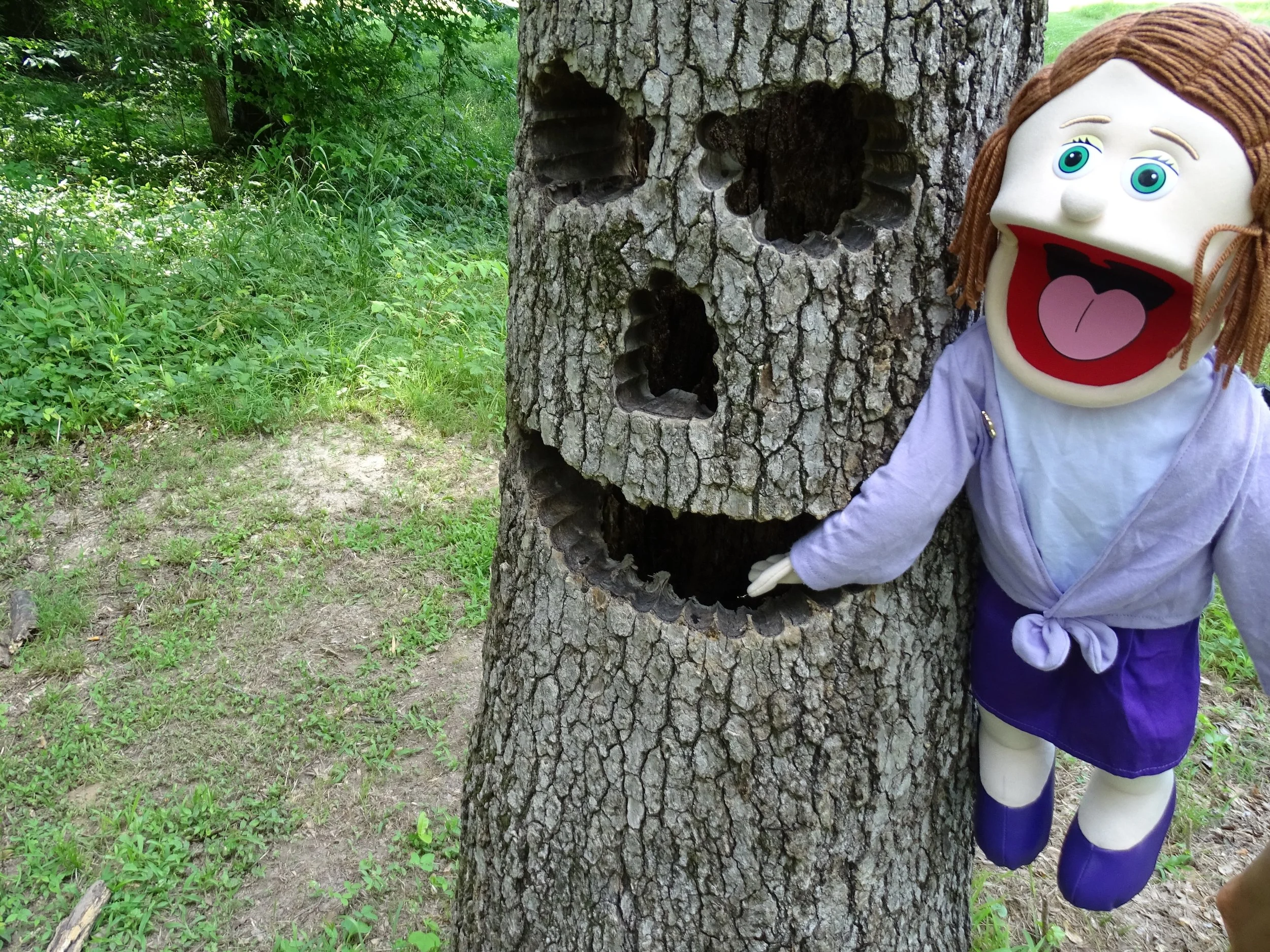
Arla worries that sticking her hand inside the tree monster’s mouth could be a bad idea.